Land surveying demands efficiency, accuracy, and reliability, there's no room for error. Surveyors need tools that are not only powerful but also adaptable to field conditions, including remote locations where connectivity is limited.
The NestForms field service management software provides a comprehensive solution by offering a mobile-based platform that doubles as a GPS land survey app. With features designed to simplify mobile data collection, enhance accuracy, and improve workflow, the NestForms surveying app is an essential tool for surveyors in various industries.
Whether you’re a professional surveyor, field technician, or project manager, NestForms’ versatility makes it one of the best surveyor apps available. Let’s explore how NestForms meets the unique needs of land surveying, including the key features that make it stand out, and how it integrates into your daily operations.
Why Use a GPS Land Survey App?
Traditional land surveying methods often require cumbersome equipment and time-consuming manual processes. While these methods are reliable, they lack the flexibility and efficiency that modern technology provides. Enter the GPS land survey app — a mobile tool that harnesses GPS technology to collect, tag, and manage survey data on the go.
Surveyors face challenges such as remote locations, harsh weather, and the need for real-time data accuracy. A GPS survey app like NestForms offers the following advantages:
- Portability: Conduct surveys using just a smartphone or tablet.
- Offline Capability: Continue working without internet connectivity and sync your data later.
- Real-Time Accuracy: Collect and tag GPS data accurately in real-time.
- Customisable Forms: Adapt job completion forms to suit different surveying needs.
By using NestForms as a land survey app, you eliminate the need for bulky equipment and streamline the process of collecting and sharing data.
Key Features of NestForms for Land Surveying
NestForms offers a variety of features that cater specifically to the needs of land surveyors. These features enhance productivity, accuracy, and overall efficiency in the field.
1. GPS Tagging for Precise Data Collection
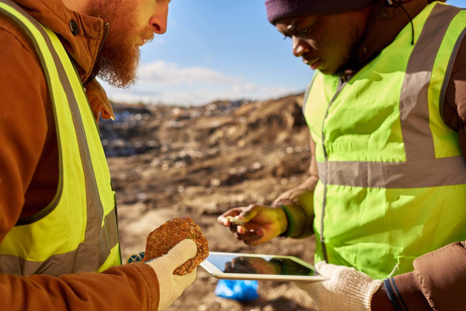
Accuracy is critical in land surveying. NestForms integrates GPS tagging within its forms, allowing you to collect precise location data for each entry. This feature is especially useful for mapping property boundaries, marking landmarks, or documenting field conditions. Whether you’re working on a construction site or a remote field, the GPS survey app functionality ensures your data is always accurate.
2. Offline Data Collection
Surveying often takes place in remote areas where internet access is unreliable or unavailable. NestForms’ offline survey app feature allows you to collect data even when you’re out of range. Your data is stored locally on your device and automatically syncs with the central system once you reconnect. This ensures that no data is lost and that your workflow remains uninterrupted.
3. Customisable Survey Forms
No two surveys are alike. The NestForms’ form builder app allows you to create customisable forms tailored to your specific needs. For example, you might wish to complete an Installation Form, Project Completion Report or Work Completion Form. Whether you’re conducting a boundary survey, topographic survey, or environmental assessment, you can design forms that capture exactly the data you need. Add fields for GPS coordinates, images, notes, and more to create a comprehensive survey tool.
4. Image Capture and Annotation
Visual documentation is essential in surveying. NestForms allows you to attach images to your form entries, providing a visual reference for each data point. You can also add annotations to highlight key features or issues, making it easier to review and share your findings.
5. Seamless Integration with Field Service Management
NestForms is more than just a GPS land survey app; it’s a complete field service software solution. Integrate your surveying tasks with broader field service management processes, such as final inspection checklists, installations, and work completion reports. This allows you to manage multiple aspects of a project from a single platform, improving coordination and efficiency.
6. Real-Time Syncing and Reporting
Once you have internet access, your collected data syncs in real-time with your NestForms account. This enables quick generation of reports, which can be shared with clients, team members, or other stakeholders. Whether you need a work completion report or a detailed survey summary, NestForms makes reporting simple and efficient.
Applications of NestForms in Land Surveying
NestForms’ field service software flexibility makes it suitable for a variety of land surveying tasks. Here are a few common applications:
Boundary Surveys
Accurately map property boundaries and mark key points using GPS tagging. Generate detailed reports to share with property owners or legal teams.
Construction Site Surveys
Use NestForms as a Snag List App to document construction site conditions, measure progress, and ensure compliance with project plans. The ability to integrate new build snagging checklists ensures that any issues are documented and addressed promptly.
Environmental Surveys
Collect data on environmental conditions, wildlife habitats, and natural resources. Attach images and GPS coordinates to create detailed records for conservation or regulatory purposes.
Utility Mapping
Map underground utilities, pipelines, and other infrastructure with precision. NestForms helps ensure that utility surveys are accurate and easy to share with contractors or municipal authorities.
Why Choose NestForms as Your GPS Land Survey App?
Choosing the right apps for surveyors can make a significant difference in productivity and accuracy. NestForms offers several advantages that set it apart:
- Ease of Use: The intuitive interface ensures that anyone can start using NestForms with minimal training.
- Flexibility: Whether you need a mobile survey app or a complete field management system, NestForms adapts to your needs.
- Reliability: Offline capabilities mean you can collect data anywhere, without worrying about connectivity.
- Accuracy: Integrated GPS tagging ensures your data is precise and trustworthy.
For professionals seeking the best surveyor app, NestForms delivers a powerful combination of features, ease of use, and adaptability.
Getting Started with NestForms
Ready to optimise your land surveying workflow? Getting started with NestForms is simple:
- Sign up for a free trial on the NestForms website.
- Create your first custom survey form using the form builder.
- Download the Android Forms App or iOS app to your device and test your new form for correctness and flow.
- Have your colleagues (responders) download the app to their smart devices.
- Share your form to the appropriate responders.
- Responders can start collecting GPS-tagged and other data in the field straightaway, even offline.
- Data is synced in real-time meaning that you can generate reports instantly to share with your team or clients.
Conclusion
NestForms is a versatile and reliable GPS land survey app that empowers surveyors to work efficiently, accurately, and confidently. With features like GPS tagging, offline data collection, and customisable forms, NestForms is the ideal tool for professionals in need of a powerful mobile survey app solution.
Explore how the NestForms mobile data collection app can enhance your surveying tasks and streamline your workflow. Sign up today and experience the difference!
Learn more about how our mobile form app works and get started quickly.
Kick off your NestForms Quality Control App journey today by signing up for our free two week trial. All of the features available within the Premium subscription are available for you to use during the free 14 day free trial period. That means you can assess and evaluate all of the features on offer within the platform.
Have a look at our example template section. You can modify any of these forms to suit your GPS Land survey requirements. You'll find examples of a Land Survey, a Work Completion Report, Project Completion Report, and a Construction Site Survey. There are many other example templates, Client sign off or Snag List Forms, Site Handover Forms, different types of Punch list application, Project Completion Forms, Health and Safety Audits etc. Go have a browse!
Please don't hesitate to Contact us should you have any queries regarding the platform. We welcome any feedback!
Discover the NestForms offline survey app today and witness the transformation for yourself!